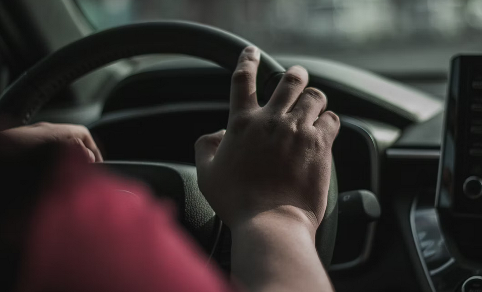
 It's a lethal mix of speed, exhaustion, and frustration. Drivers are either rushing to get to the Strip on Friday or limping home on Sunday, often hungover and sleep-deprived. But the danger isn't limited to the interstate. From the "super-intersections" of the valley to the rural hazards of the Great Basin, here are the red zones you need to watch out for in 2026.
1. The "Hangover Highway": I-15 South
This is the artery that feeds Las Vegas, and it bleeds frequently.
- The Danger Zone: The 40-mile stretch from The Strip to Primm.
- The "Sunday Scramble": Between 10:00 AM and 6:00 PM on Sundays, this road becomes a parking lot that moves at 80 mph in spurts.
- The Crash Pattern: The "Accordian Effect." Traffic will be flowing at 75 mph and then stop dead for no reason. Distracted drivers (often looking at phones or fighting fatigue) plow into the back of stopped cars.
- The Stat: It consistently ranks among the deadliest interstates per mile in the US.
2. The Intersection List: 2 Spots to Watch
Las Vegas was built on a grid of massive, six-lane "stroads" where speed limits are 45 mph but traffic flows at 60.
A. Sahara Avenue & Decatur Boulevard
If you ask any Uber driver or paramedic in Vegas which intersection they hate most, this is usually the answer.
- The Record: It has historically held the title for the highest number of crashes in the valley.
- The Risk: It is wide, fast, and congested. Drivers trying to beat the yellow light here are playing Russian Roulette with cross-traffic.
B. Flamingo Road & Rainbow Boulevard
Further west, this intersection is a fender-bender factory.
The Problem: Confusing lane markings and aggressive lane changes. Drivers realize at the last second they need to turn, cutting across three lanes of heavy traffic to make the light.
3. The Rural Killer: US-93 (The Great Basin Highway)
While I-15 gets the volume, US-93 gets the severity.
- The Danger: This two-lane highway stretches into the remote desert. It is deceptively straight, which encourages "highway hypnosis."
- The Risk: Passing. Impatient drivers try to pass semi-trucks on two-lane stretches, leading to horrific head-on collisions.
- The Rule: If you are driving to Ely or Great Basin National Park, do not speed. Help is often an hour away by helicopter.
4. The Northern Nightmare: The "Spaghetti Bowl" (Reno)
Reno has its own version of chaos where I-80 meets I-580.
- The Design: It's a tangle of concrete ramps with short merge areas and confusing signage.
- The Winter Risk: Unlike Vegas, Reno freezes. The elevated ramps of the Spaghetti Bowl ice over long before the surface streets do. Spin-outs here are a staple of the morning news in winter.
How to Survive the Drive
- Avoid I-15 on Sunday Afternoons: If you are heading to California, leave before 9 AM or wait until Monday. The stress (and risk) isn't worth it.
- Wait a Second at Green: At Sahara & Decatur, do not go immediately when the light turns green. Count to two. Someone will run the red light.
- Pack Water on US-93: If you crash or break down on the rural highways, you might be waiting hours for a tow truck in 110-degree heat.