 US Highway 12, specifically the stretch running west from Wayzata through Independence and Delano, has earned the grim nickname "The Corridor of Death." It is a narrow, winding two-lane road with no median, deep ditches, and a high volume of distracted commuters and semi-trucks.
But the west metro isn't the only red zone. From the "spaghetti bowl" merges of Minneapolis to the "black ice" traps of the river bridges, here are the roads you need to watch out for in 2026.
1. The "Corridor of Death": US Highway 12 (West Metro)
For decades, this has been cited as one of the deadliest stretches of pavement in the state.
- The Danger Zone: The 30-mile stretch between Wayzata and Montrose.
- The Risk: Head-on Collisions. There is often no center divider (though concrete medians are slowly being added in spots). If a driver drifts across the center line while checking a text or dozing off, the result is a combined 110 mph impact.
- The "Crossover" Trap: The lack of shoulders and the deep ditches mean that overcorrecting often sends cars spinning directly into oncoming traffic.
- The Fix: While safety projects are ongoing (like the new roundabouts), the road remains unforgiving for anyone not paying 100% attention.
2. The Intersection List: 2 Spots to Watch
The Twin Cities are known for their "stroads"—commercial streets that try to act like highways.
A. Lake Street & Lyndale Avenue (Minneapolis)
If you drive in Uptown, you know the chaos of Lake & Lyndale.
- The Record: It consistently ranksamongf the most dangerous intersections in Minneapolis for both cars and pedestrians.
- The Problem: It is a high-volume knot where commuter traffic meets nightlife foot traffic.
- The Risk: Confusing lane shifts and aggressive drivers trying to beat the lights lead to a high frequency of sideswipes and vehicle-pedestrian collisions.
B. Highway 65 (Central Ave) & 109th Ave (Blaine)
In the northern suburbs, Highway 65 is the headache.
- The Hazard: It is a high-speed divided highway (55+ mph) filled with stoplights.
- The Crash Pattern: The "High-Speed Rear-End." Traffic moves fast but stops suddenly at lights. Distracted drivers frequently plow into stopped lines of cars, causing severe multi-car chain reactions.
3. The "Widowmaker": US Highway 14 (Southern MN)
For residents of Mankato, Waseca, and Owatonna, Highway 14 is legendary.
- The History: It has historically been one of the deadliest rural routes in the state.
- The Mix: It connects major agricultural hubs, so you share the road with slow-moving tractors and massive grain haulers.
- The Danger: Patience (or lack thereof). Drivers stuck behind a semi-truck often attempt risky passes on two-lane stretches.
- The "Dodge Center" Stretch: While expansion to four lanes is progressing, the remaining two-lane sections are statistically lethal.
4. The Winter Killer: I-94 / I-35 Bridges
In Minnesota, the road surface changes instantly when you cross water.
- The Phenomenon: Bridge Icing.
- The Trap: The Mississippi River bridges (like the Dartmouth Bridge or the Wakota Bridge) freeze hours before the rest of the highway.
- The Result: You are driving on wet pavement at 60 mph, hit the bridge deck, and instantly spin out.
- The "Black Ice" Warning: If the thermometer reads 34°F, assume the bridge is frozen. It doesn't need to be 32°F for the wind to freeze the deck.
How to Survive the Drive
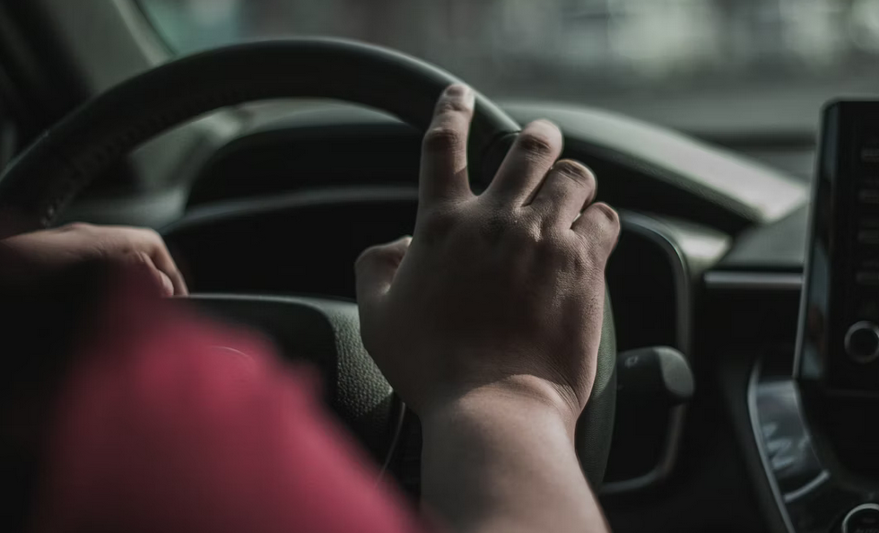
- Stay in Your Lane on Hwy 12: Do not look at your phone. Do not fiddle with the radio. The margin for error on the "Corridor of Death" is inches, not feet.
- Watch for Pedestrians on Lake St: In Minneapolis, assume someone is jaywalking at every corner.
- Coast Over the Bridges: In winter, take your foot off the gas before you hit the bridge deck. Do not brake on the bridge unless you have to.